
Ever wonder how a single satellite can change our view of the entire planet? In 2002, Envisat took off and started capturing crisp details about our air, land, and oceans.
This tech gem acted like the bright glow of a well-designed interface, offering experts a brand-new way to see Earth’s shifting weather and vibrant nature. Its data was a unique puzzle piece that helped complete a clearer picture of our world.
In essence, Envisat’s journey challenges us to rethink science and sparks a curiosity to explore our environment with fresh eyes.
Envisat Satellite Mission Overview and Impact
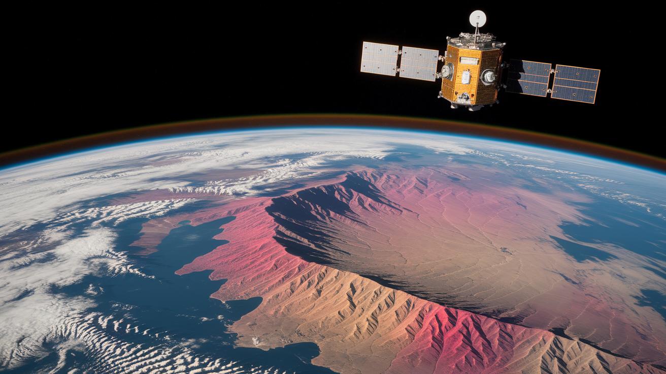
One of the largest remote sensing satellites, roughly the size of a school bus, quietly reshaped how we view our planet's systems. Launched by the European Space Agency on March 1, 2002, Envisat was built to monitor our air, land, and oceans in a way that felt both futuristic and grounded in solid science.
Designed like a digital marvel, Envisat packed a host of instruments. It carried ASAR for all-weather radar imaging, a tool that lets scientists see through clouds, and MERIS, which captured detailed color views of oceans and lands. Five extra tools helped gather even more environmental data, giving us a full picture of our changing world.
Originally set for a five-year mission, Envisat kept on going. For nearly ten years, its steady stream of data helped experts understand shifting weather patterns, land use, and ocean currents. Imagine building a giant puzzle where every bit of data helped complete a clearer image of our climate, its impact was just that powerful.
In its final chapter, Envisat transmitted its last signals in April 2012 and was officially declared "dead in space" on May 9, 2012, after a month of silence. Even though its beeping had stopped, its legacy continues to light up our understanding of Earth, reminding us how even one satellite can spark a revolution in how we view our planet.
Envisat Satellite Development and Strategic Objectives

From 1995 until 2002, the European Space Agency led the creation of the Envisat satellite. Their aim was to build on the successes of the earlier ERS-1/2 series and then push further into new technological territory. The satellite featured better spectral and spatial capabilities, letting scientists see our planet with striking clarity. Picture engineers gathered around blueprints, eager to capture everything from strong ocean currents to tiny shifts in the atmosphere.
Envisat’s mission was all about getting a full picture of Earth. Its goals ranged from tracking climate change and mapping atmospheric chemistry to studying the land beneath our feet. Imagine a scientist saying, “Envisat reshaped our view of Earth by uncovering hidden changes in ocean circulation.” Every design choice played a role in creating a tool that continuously delivered data on weather trends and environmental shifts.
In essence, this project wasn’t just about advanced technology, it was about deepening our understanding of our world. By providing precise insights into ocean patterns and climate change, Envisat stands as a brilliant example of how thoughtful satellite development can spark major scientific breakthroughs.
Envisat Satellite Technical Specifications and Instrument Payload
Envisat was a real trailblazer in showing us Earth from space. It carried a neat array of sensors that captured the planet in all its detail. The onboard instruments, ASAR, MERIS, AATSR, RA-2, MIPAS, and GOMOS, each played a unique role in mapping our world.
ASAR was our go-to for radar imaging. It could capture clear pictures of Earth no matter the weather, offering details down to 30 meters. Imagine peering into Earth’s surface, even when clouds hide the view!
MERIS, with its 15 different color bands, let scientists see subtle shifts in the hues of oceans and lands. Its 300-meter resolution meant that even the faintest color differences were uncovered, as if nature itself was painting a precise picture.
Then there was AATSR, which focused on measuring sea surface temperatures. By capturing data in both visible and infrared light (infrared is a type of light that our eyes can’t see, but sensors can), it provided essential insights into ocean behaviors at a 1 km resolution.
RA-2, the radar altimeter, was a precision tool for measuring changes in Earth’s surface and sea levels. With an accuracy of up to 1 centimeter, it was like having a sensitive scale that could detect even the smallest dips and rises.
MIPAS and GOMOS rounded out the team by studying our atmosphere. MIPAS used its fine spectroscopic skills (spectroscopy is the method of analyzing light to determine material properties) to track atmospheric gases, while GOMOS mapped ozone profiles at a 2 km resolution.
Together, these instruments transformed raw data into a clear picture of our planet’s land, ocean, and atmosphere, pushing the boundaries of space technology and our understanding of Earth.
| Instrument | Function | Resolution | Wavelength/Band |
|---|---|---|---|
| ASAR | Radar imaging | 30 m | 5.3 GHz |
| MERIS | Ocean/land color | 300 m | 15 spectral bands |
| AATSR | Sea surface temperature | 1 km | Visible/IR |
| RA-2 | Altimetry | 1 cm | 13.575 GHz |
| MIPAS | Atmospheric spectroscopy | 0.1 cm⁻¹ | 4.15–14.6 µm |
| GOMOS | Ozone profiles | 2 km | 250–675 nm |
Envisat Satellite Operational Timeline and Key Milestones
Envisat kicked off its journey in 2002, launching with energy and quickly entering commissioning by June. Its early days paved the way for a new age in high-definition Earth observation. Imagine the soft hum of satellites as it captured the textured terrain of the Tibetan Plateau on January 30, 2012, and the snow-kissed brilliance of the Alps on January 16. Then, on January 27, it gifted us images of the rugged Sikhote Alin mountain range that truly showcased nature’s intricate details.
Between 2011 and 2012, Envisat consistently delivered breathtaking views over vast regions. For example, it pieced together a composite image of the Indonesian archipelago from passes on June 20, August 19, and December 27, 2011. It also snapped a clear picture of Spitsbergen on September 6, 2011, highlighting coastlines and ice formations, proof of its vital role in environmental monitoring.
On April 8, 2012, things took a dramatic turn. Envisat sent its final X-band transmission at 11:09 GMT, followed shortly by a Ka-band data burst, before an unexpected glitch cut communications short. Just two days later, on April 10, the Fraunhofer Institute’s TIRA radar captured a ground view of Envisat, providing an external glimpse during this crisis. Then, on April 15, the satellite Pleiades was reoriented to capture Envisat from roughly 100 km away, vividly chronicling its final moments of activity. These unforgettable events shaped a legacy of groundbreaking contributions.
- 1 Mar 2002 – Launch
- Jun 2002 – Full commissioning
- Jan 2012 – Critical environmental imagery
- 8 Apr 2012 – Final data transmissions
- 10/15 Apr 2012 – Ground & Pleiades imaging
- 9 May 2012 – ESA declares mission end
Envisat Satellite Scientific Contributions and Earth Observation Impact
Envisat spent a decade (from 2002 to 2012) quietly gathering data that scientists still cherish today. Imagine a satellite that not only snapped stunning pictures of our planet but also delivered key insights to help us understand climate shifts. Its steady flow of information opened doors for breakthroughs in long-term climate tracking.
By mapping Earth in high resolution, Envisat really reshaped how we spot changes in our environment. Its clear images showed the subtle dance of ocean currents, the health of vegetation, and how polar ice behaves. Even tiny shifts, like a slow retreat of ice, were captured with amazing detail, almost like reading nature’s quiet messages.
Envisat wasn’t just about visuals; it played a big role in global conservation, too. Precise data from the satellite helped monitor deforestation, changes in wetlands, and coral-reef bleaching. I remember reading about how early signs of coral stress were spotted early on, prompting experts to launch effective conservation efforts.
Every bit of data recorded by Envisat has enriched our understanding of Earth. With sharper mapping methods, tracking weather patterns and managing natural resources got a major upgrade. Each pixel of data still sparks innovative projects in science and conservation, ensuring that Envisat’s legacy lives on in our quest for a sustainable future.
Envisat Satellite Decommissioning and Data Archival Access
On May 9, 2012, ESA switched off Envisat because the satellite lost all telemetry signals and raised concerns about space debris. During its active years, though, Envisat collected a huge amount of Earth observation data – a true treasure trove for researchers today.
Even now, you can access every bit of that information through ESA’s Earth Online or via the ENVISAT Archive. Picture this: millions of digital snapshots taken by instruments like MERIS (which captures Earth’s colors) and ASAR (a radar that maps landscapes) stored away like a detailed photo album of our planet’s shifts over time.
These archived geospatial records are still a big deal. Researchers use them to compare today’s observations with past data, offering insights that help us grasp climate change and land-use patterns. In short, although Envisat is no longer active, its legacy continues to shape the way we understand and protect our planet.
Final Words
In the action, our blog captured the envisat satellite’s mission from launch to its lasting imprint on Earth observation. We walked through key milestones, technical details, and data insights that power digital breakthroughs. The post underlined how smart design met impressive science, sparking conversations about integrating tech in everyday work. It’s a reminder that bold ideas can change how we view our world, inspiring innovative solutions every day. Keep exploring, stay curious, and let these insights fuel your next big tech moment.
FAQ
Is the Envisat satellite live?
The Envisat satellite is not live anymore since its mission ended in 2012, though archived datasets remain available via ESA’s data services.
What does the Envisat satellite map show?
The Envisat satellite map displays high-resolution imagery of Earth’s surface, offering detailed views that support environmental observation and research.
How does Envisat’s spatial resolution work?
Envisat’s spatial resolution depends on its instruments; for example, the ASAR sensor provided 30 m radar images, while MERIS captured 300 m resolution images for color analysis.
What are the Envisat dimensions?
The Envisat dimensions reveal it was roughly the size of a school bus, enabling it to carry a suite of instruments for diverse Earth observation tasks.
What is the orbit of the Envisat satellite and its orbital parameters?
The Envisat orbit involved near-polar passes with well-defined parameters, ensuring global coverage and regular revisit times for effective environmental monitoring.
What kind of data does Envisat provide?
Envisat data include multispectral imagery and radar measurements used for monitoring climate, land use, and ocean conditions, with archived datasets still benefiting research today.
How is Envisat pronounced?
Envisat is pronounced en-VEE-sat, combining ‘environment’ and ‘satellite’ to reflect its mission focused on Earth observation.
What is Envisat used for?
Envisat was used for Earth observation, collecting data on atmospheric, land, and oceanic conditions to support climate studies and environmental assessments.
How much did Envisat cost?
Envisat’s cost details are not publicly disclosed, but the project represented a significant investment by ESA in advanced remote sensing technology.
Who owns Envisat?
Envisat is owned by the European Space Agency (ESA), which managed its development, launch, and operational phase until the mission concluded.